Skip to content
A blog from the Northern Ireland Assembly Research and Information Service

Infrastructure

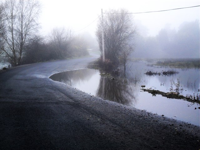
Mullygarry, Fermanagh; after thirty-five consecutive days of rain in 2009, the water levels on Lough Erne rose to 158ft above sea level, the highest since records began in 1956 (image Dean Molyneaux, under Creative Commons).

Managing Flood risk in Northern Ireland: Are we prepared?

Prolonged heavy rainfall over the winter of 2015 has shown how devastating flooding can be to homes, businesses and critical infrastructure. With predictions that localised flooding will become an ever more common occurrence, how prepared is Northern Ireland to manage flood risk?
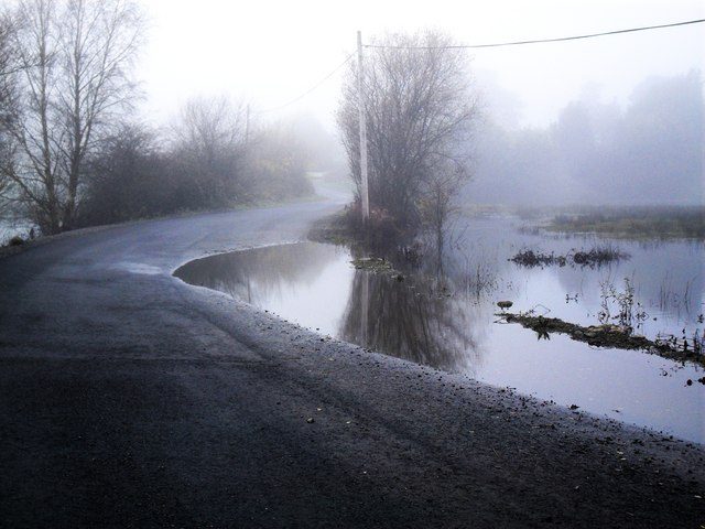
Mullygarry, Fermanagh; after thirty-five consecutive days of rain in 2009, the water levels on Lough Erne rose to 158ft above sea level, the highest since records began in 1956 (image Dean Molyneaux, under Creative Commons).

Read More »Managing Flood risk in Northern Ireland: Are we prepared?